Stop Press
Updates
Permanent changes to the description of the route will be found in the Update pages for each book. At the bottom of this page you will find information about the route that is likely to be of only short-term relevance or where there is not enough information for any sort of permanent update.
Day out in Oxted. Socking it to Alan Titchmarsh.
Earlier on in 2025 we were exploring the route of the GMT in and around Oxted looking for places to put the way marks for the route. We have always asked permission before we use any street furniture, in this case it will be the highways department of Surrey County Council. In Oxted we popped into Woodward, the gent’s outfitters, where the Meridian Marker sits resplendent in their window. There we were welcomed by two lovely, friendly ladies, called Heiki and Sammy, who could not have been more interested in the GMT. To our utter surprise and delight we were each presented with a pair of rather fancy socks. In passing, they mentioned that many years ago Alan Titchmarsh came into the shop because he was doing a programme about walking down the Greenwich Meridian. He was presented with a pair of bright red socks, our socks are far more decorative and very cosy. We have not been able to find out anything about his march down the meridian.
Sammy and Heiki The socks!


Francois Remodeau - Hiking down the Greenwich Meridian
On the 2nd of May 2022 we met Francois in Newhaven after he had spent the previous month hiking down the GMT, starting at Sand le Mere on the 2nd of April 2022. He was about embark on a sailing yacht that had travelled from France in order to carry him across the channel so that he could continue down the Greenwich Meridian in France and then in Spain. This was not his first expedition, having hiked in Bolivia and along the Pyrenees. He was carrying everything he needed, including a tent, in a huge rucksack. Most of the time he slept in the tent, sometimes “wild” and sometimes in campsites.
Francois completed his marathon trek in October. See below for a link to his comprehensive and entertaining blog.

Presenting Francois with a GMT badge

Hilda, Fred, Charles, Michel and Francois with the boat moored up behind.
Follow Francois’s adventure on his blog at - escapadez-vous.blogspot.com
Catch up with another man’s experience of the GMT
at - Starting the Greenwich Meridian Trail | Snowgood's Blog (wordpress.com)
More about the Waymarks
Having stumbled upon a couple of blogs about the GMT (not being very savvy in this area) we discovered that the little section about waymarks in the About page is not clear enough about where the waymarks are placed and, perhaps more importantly, where we have not been able to place them. In the country parts of the route, we have been given permission to us the signposts erected by the Rights of Way Departments of the County Councils. Thus, how frequently waymarks can be found en-route depends to a great extent on where those posts are. We avoid placing waymarks on private property without having first obtained permission, so long gaps between waymarks is sometimes unavoidable. Permission has now been granted by Epping Forest so there are now some waymarks along that section of the trail (Book 2 pages - 10 to 16) including where we have been able to make use of an occasional PROW signpost. We have failed to obtain permission from Ashdown Forest (B00k 1 pages - 26 to 28) so most of the route through the forest is without waymarks.
There are no waymarks in any part of London as we have only just managed to place the waymarks as they are. Our next task is to approach all the local authorities along the route in London and ask them for permission to place waymarks on some of their posts. We have already done this for the towns and villages in East and West Sussex, Surrey, Hertfordshire and Cambridgeshire where the County Highway Authorities have given us permission to use their signposts.
In summary - you will not find waymarks in Ashdown Forest, all of London and towns and villages in Essex, Lincolnshire and East Yorkshire.
If that concerns you, then the answer is to buy the guidebooks in which you will find a clear and concise description of the route specifically written to ensure that you do not get lost even in the absence of waymarks.
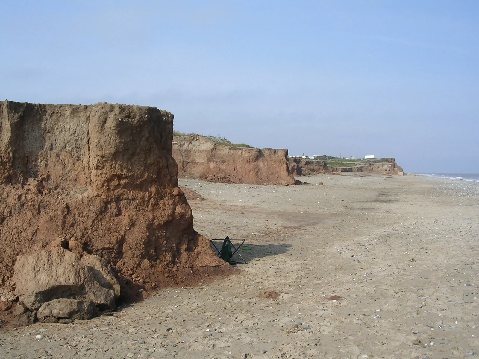
Sand le Mere
What may happen to the end of the trail.
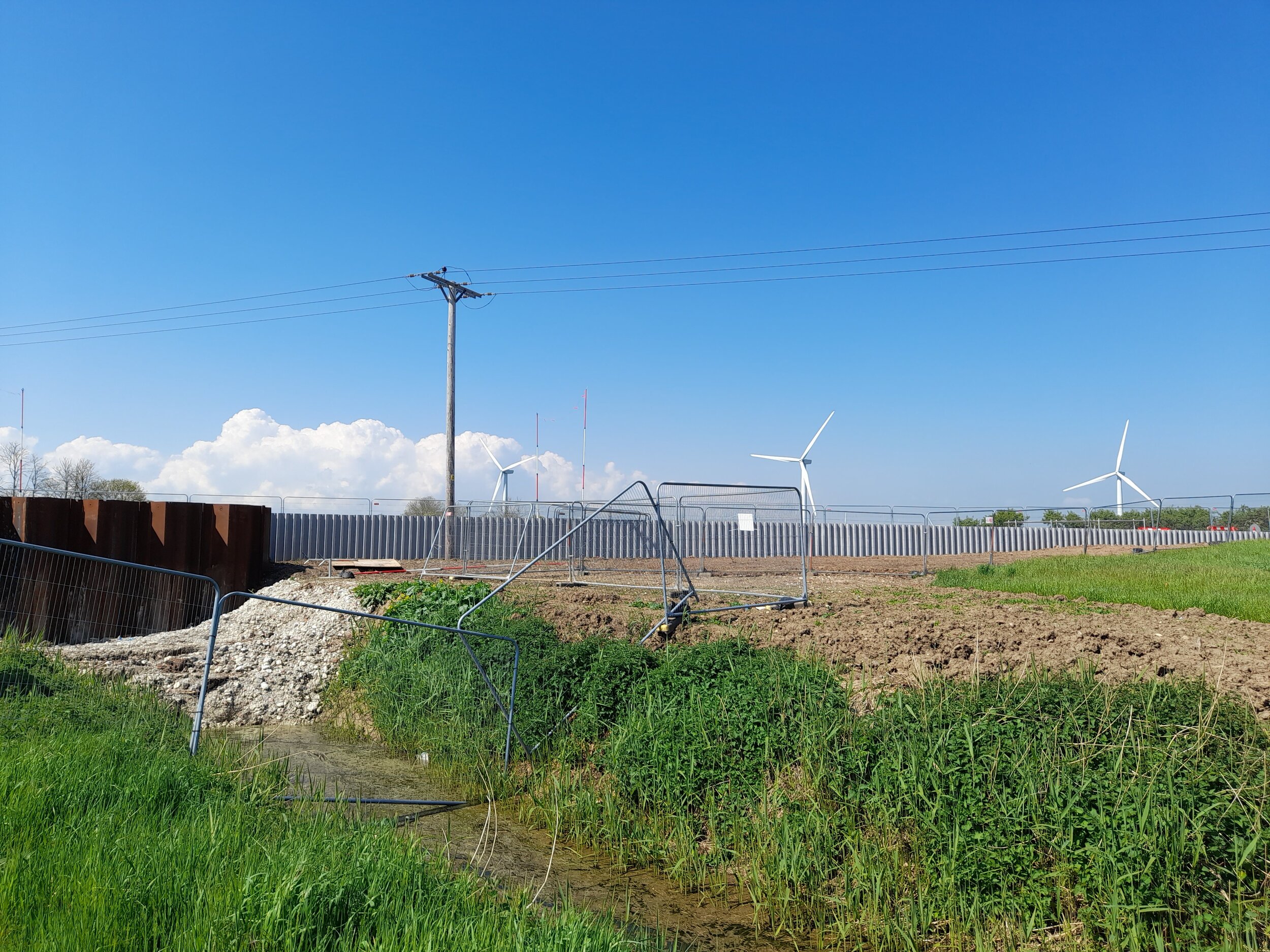
Now that the new barrier has been completed the route of the GMT, for the present, is unaltered until such time as the sea breaches the present embankment, probably at exactly the place where the Greenwich Meridian crosses at the end of the trail. The path beside the drain will then be engulfed by the sea, but probably only intermittently as it is anticipated that sand dunes may well form and protect the land around the drain which will, however, become salty marshland. We cannot see how the present path can survive and it will, presumably, be diverted, how is impossible to say.

See how narrow the sea embankment has become.

Here it is non-existent. This must be the place where the sea comes through with the next big storm.
Book 1
At the top of page 14 the directions tell you to turn right shortly after the 16th century Yeomans House. When we walked though the village in August 2025 Yeomans House appears to have disappeared. We shall have to go back and find out why.
One of the paths near Barcombe Cross (half way down page 14) is impassable. Go to the update page for details of how to get round it. All the updates that you need are in the update section.
Book 2
No hot news. All the updates that you need are in the update section.
Book 3
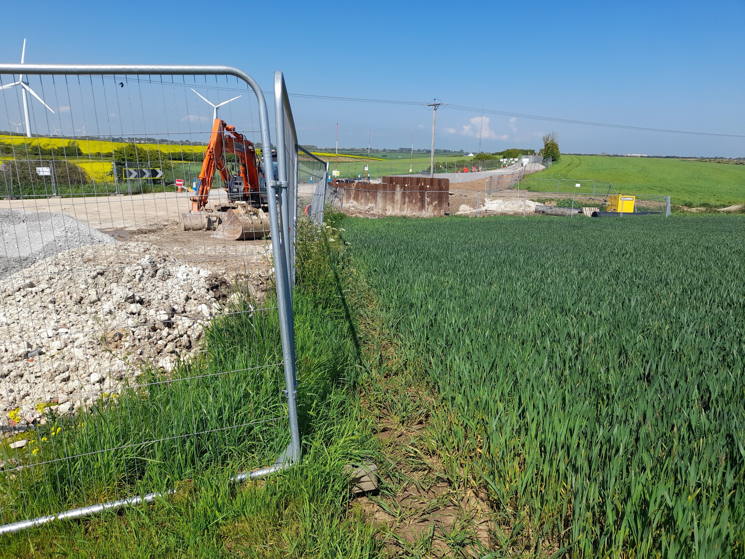
In early July 2025 we were told about some difficult paths south of Murrow (page 28) Our informant tells us that he would have used the road had he known. In late July 2025 we went to see the relevant paths and they are, indeed, difficult in places but not impassable if you are prepared to accept a bit of “rough going”. (See picture below)
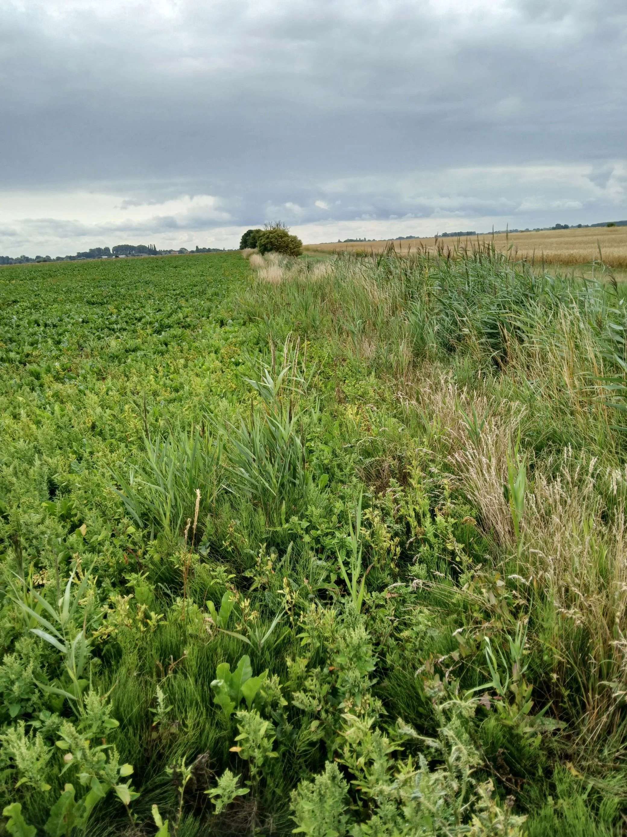
See what we mean? Maybe the road would be better.
All the other updates that you need are in the updates section.
Book 4
We have been informed that a waymark on the path approaching Louth (page 24) is pointing the wrong way, apparently into a hedge. More news when we manage to get up there to investigate.
Tetford now has a Meridian Marker, placed there for the Queen’s Diamond Jubilee. It is just a few metres down the road by the church, on the left-hand side.
Go to the updates page for all relevant information about changes to the route.
Latest updates - September 2025
Header Photo: Boulder Clay Cliffs at Sand le Mere.